

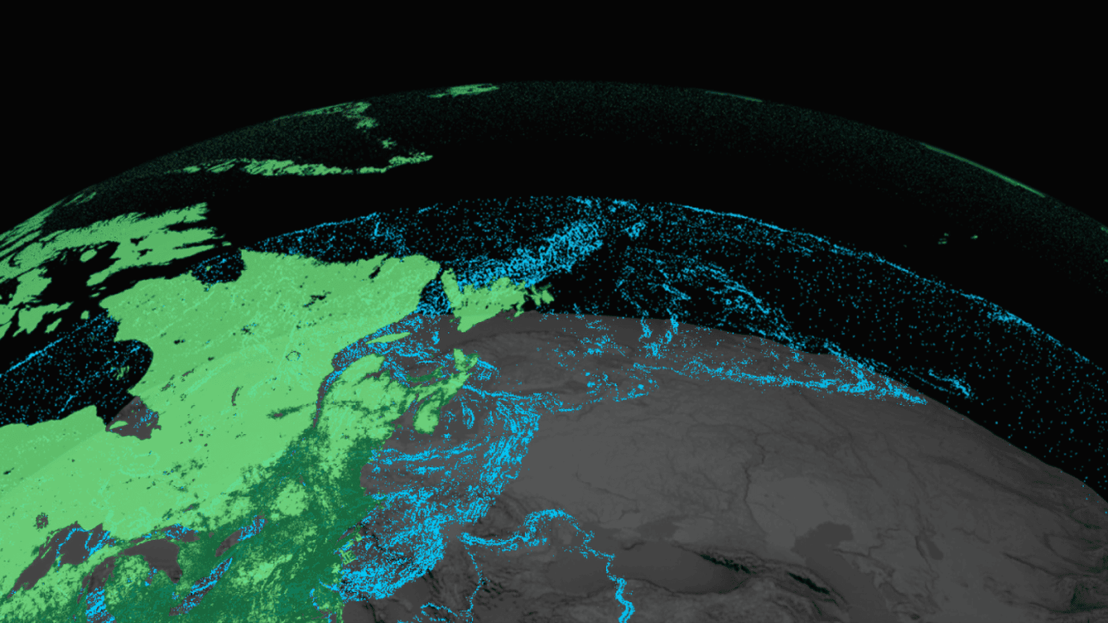
Mapping and GIS
Within Mapping and GIS jobs you will use Geographic Information Systems (GIS) and geospatial technology to analyze and identify the geographic location of features and boundaries for use in management of National Forest lands. You will make sure maps are accurate for public use, research, natural resources management and responding to emergency incidents such as wildfires. You may expand to becoming a skilled problem solver who identifies relationships and linkages and applies in-depth knowledge of geographical science to a multitude of complex issues. Contributing to scientific studies, surveying remote areas, and providing critical information for studies, land surveys, or land development planning.
Industry Insights
A high-level pulse check on talent demand, projected growth, compensation, and how work typically happens across this pathway.
Estimated employment nationwide in 2024
BLS job outlook (2024–2034)
Mid-career annual salary (nationwide median)
How the work is typically performed
Peak demand and work cadence
Active openings across the FireUp network
Career Pathways & Progression
Position Responsibilities
Individuals in entry‑level roles support GIS projects by preparing data, performing basic spatial analysis, creating simple maps and maintaining databases under supervision.
Job Types & Titles
- GIS Technician
- Mapping Assistant
- Surveying/GIS Intern
Qualifications Snapshot
Education
Associate degree or certificate in GIS/geomatics or progress toward a bachelor’s degree.
Certifications
Introductory GIS certificates or micro‑credentials (e.g., University of Maine’s Introduction to GIS Mapping micro‑credential).
Experience
0-2 years of GIS coursework, internships or related experience.
Position Responsibilities
Technicians perform routine spatial analysis, digitize and edit geospatial data, and produce thematic maps for specific projects. They may also troubleshoot GIS software and assist field crews.
Job Types & Titles
- GIS Specialist
- Remote Sensing Technician
- Geospatial Data Analyst
Qualifications Snapshot
Education
Bachelor’s degree in geography, geospatial science or related field.
Certifications
Esri Technical Certification at the Foundation or Associate level.
Experience
2-4 years of hands‑on GIS experience, internships or project work.
Position Responsibilities
Professionals design and manage GIS projects, develop spatial databases, write scripts and applications to automate geospatial workflows, and integrate remote‑sensing data for analysis. They advise clients or management on GIS strategy.
Job Types & Titles
- Cartographer
- GIS Analyst
- Geospatial Developer
- Photogrammetrist
Qualifications Snapshot
Education
Bachelor’s degree in cartography, geomatics or GIS; many professionals hold a master’s degree in geographic information science or related discipline.
Certifications
GIS Professional (GISP) certification from the GIS Certification Institute.
Experience
4-8 years of professional GIS experience, demonstrating advanced analysis and project management.
Position Responsibilities
Managers oversee GIS teams, coordinate cross‑disciplinary projects, develop strategic geospatial initiatives, secure funding and ensure data governance and quality standards. They may serve as GIS directors for government agencies or private firms.
Job Types & Titles
- GIS Manager
- Geospatial Program Manager
- Chief Geospatial Officer
Qualifications Snapshot
Education
Bachelor’s or master’s degree in GIS or related field; management training or MBA may be beneficial.
Certifications
GISP certification and advanced Esri Professional certification; project management certification (e.g., PMP) is often preferred.
Experience
8+ years of GIS experience with leadership responsibilities and budget oversight.
Who Hires Mapping and GIS Professionals?
Explore leading organizations in this field and discover career opportunities.
Education & Certification
Lay the foundation for your career with the right education and stand out with professional certifications.
Academic Programs
Professional Certifications
Words from the Field
Hear from professionals who have built successful careers in mapping and gis.
Want to highlight your own pathway story?
Share your testimonialResources & Tools
Curated guides, videos, and communities to help you level up quickly.
Video Library
Jobs in Mapping and GIS
Still Deciding?
Use our tools and resources to explore mapping and gis and related fields.
Explore Your Options
Not sure where to start? Let us help you match your skills to your next career move, or get alerts for jobs that fit your goals.